


测绘无人机
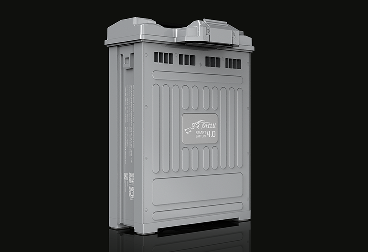
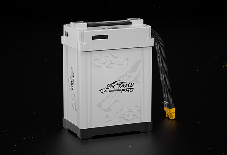
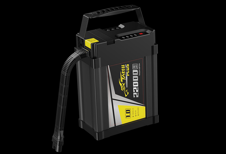
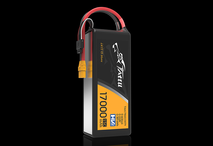
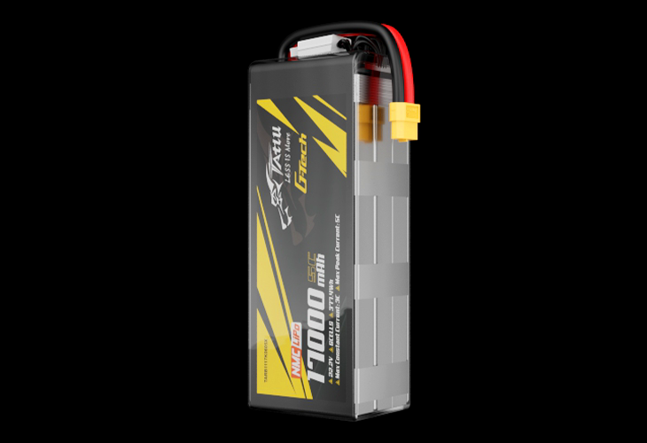
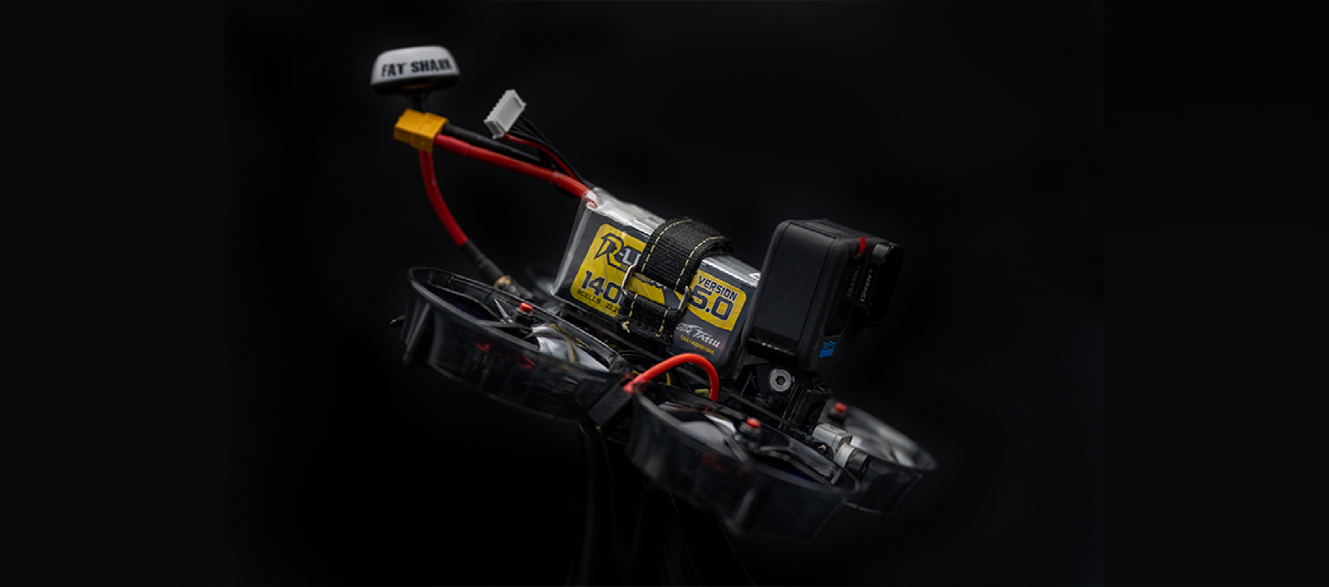
用于测绘无人机的 Tattu UAV 电池
测绘无人机是专门用于高精度空中勘测的无人机,可为各种应用创建详细地图、三维模型和地理空间数据。这些无人机配备先进的传感器和摄像头,可捕捉地形、环境和结构信息,是农业、建筑、采矿和环境管理等行业不可或缺的工具。

痛点
测绘无人机
功能特点
可对收集到的数据进行即时分析,帮助企业及时做出以数据为导向的决策。
提供准确的高分辨率数据,可用于精确决策和规划。
无人机可以进入难以到达或危险的区域,将人类勘测人员的风险降至最低,并能对以前无法进入的地点进行详细分析。

减少传统测量方法所需的时间和人力,同时提供更频繁和最新的数据。
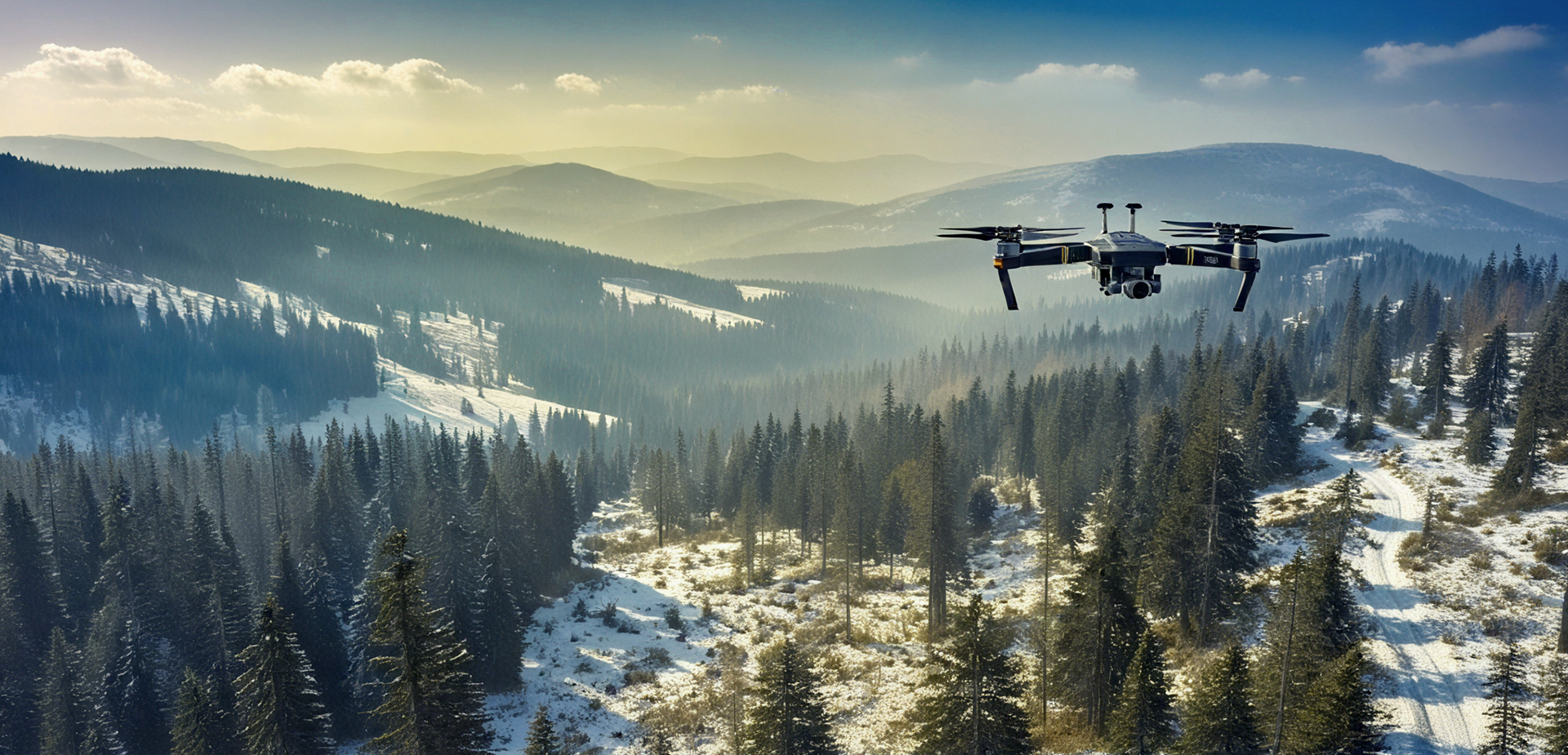
测绘无人机
测绘无人机
测绘无人机正在改变各行各业收集和分析数据的方式,提供详细、准确和可操作的见解。无论您是绘制农田地图、勘测建筑工地还是监测环境变化,无人机测绘都能提供当今快节奏世界所需的效率和精确度。
RELATED NEWS
2025-01-16
世界粮食日: Tattu助力智慧农业,保障粮食供应
Tattu is committed to providing reliable power solutions for agricultural drones, empowering smarter farm management and improved crop yields. By delivering cutting-edge energy solutions, Tattu supports the transformation of traditional farming practices and contributes to building a more resilient agricultural industry.
2025-01-16
了解无人机有效载荷
Drones, also known as Unmanned Aerial Vehicles (UAVs), have become indispensable tools in industries like agriculture, delivery, surveillance, and entertainment. Their ability to perform tasks in challenging or dangerous environments is heavily influenced by their payload capacity—the weight they can carry.
2025-01-16
为什么无人机要使用双电池或多电池系统?
As drones are increasingly used for tasks requiring long flight times and heavy payloads, dual or multi-battery systems are becoming more common. These setups offer extended flight durations, improved reliability, and better performance. However, they also present challenges like added weight, complexity, and maintenance.